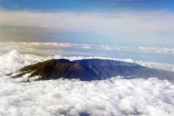
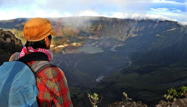
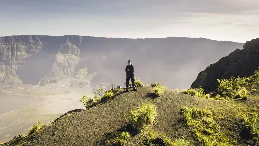
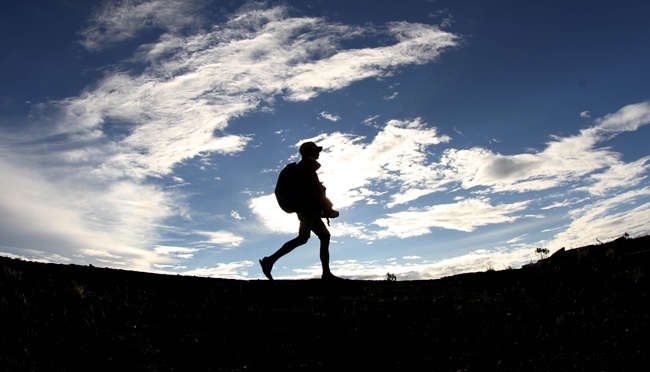
Mount Tambora Gallery
Media Sources
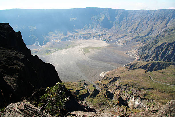
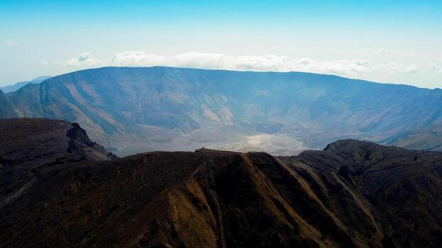
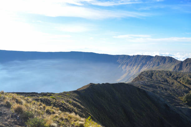
Photos
vecteezy.com
istockphoto.com
gettyimages.com
tempo.com
jogja.disway.id
stock.adobe.com
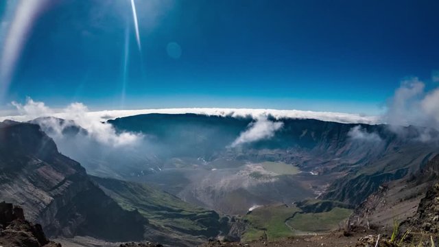
Videos
YouTube : Anak Pedalaman
All media used with permission or in accordance with applicable license terms.